 Bathing quality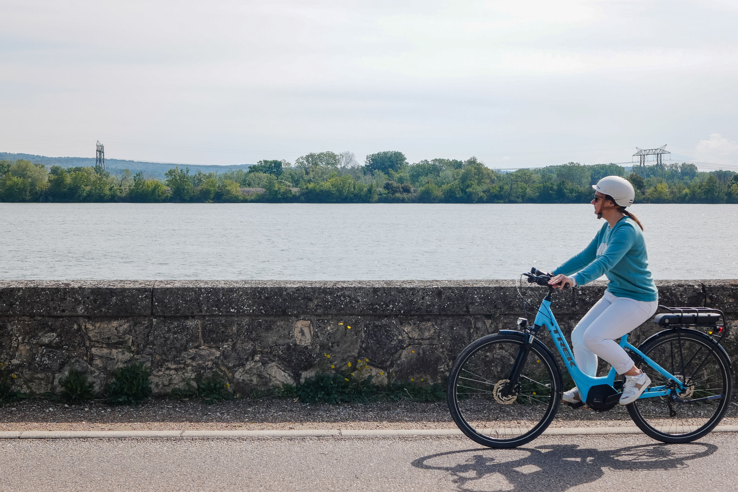
Rhone Valley Cycling Loop
Presentation
24 or 48 km loop along the Rhône Valley
Highlights of the route: Museum of Sacred Art in Pont-Saint-Esprit (Via Rhôna stopover town). Vénéjan, a small town of character, St Etienne-des-Sorts: panoramic view of the Rhône. Chusclan and the Château de Gicon
Difficult level with a few short but steep climbs.
Suitable for families with extensive experience of cycling on shared roads and communal paths.
Family outing on a one-way trip from Pont-St-Esprit to Codolet, or on a return trip (e.g. Pont-St-Esprit and Vénéjan / Codolet and St-Etienne-des-Sorts).
Departure for a day trip, or even two days with accommodation.
Towns crossed: Pont-St-Esprit, Vénéjan, St-Etienne-des-Sorts, Chusclan and Codolet.
Description:
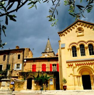
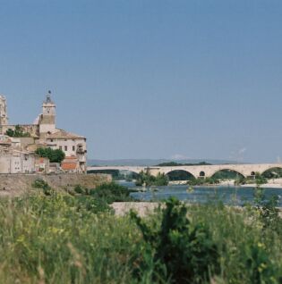
Parking at Champ de Mars near the Pont-St-Esprit Tourist Office, a town with many historic buildings including the Museum of Sacred Art located in a medieval residence. There are also many shops and services available before your departure and/or upon your arrival. This town is directly linked to the VIA RHÔNA via the medieval Gard bridge, built between 1265 and 1309, with its twenty-six arches spanning the Rhône between Lamotte-du-Rhône (left bank) and Pont-Saint-Esprit (right bank), which is the gateway to Occitan Provence.
The Tourist Information Office, located near the Champ de Mars car park, welcomes you and provides you with all the information you need about the town and the region.
The loop starts at the Rond-point de l’Europe roundabout, marked by its fountain near the Champ de Mars car park. Head towards the Musée d’Art Sacré (Museum of Sacred Art), then continue straight on to the banks of the Rhône at the second small roundabout. You can admire the medieval bridge and the Rhône, which you will see throughout the route. After walking along the quays, turn right and walk up Boulevard Allègre for about 400 metres, then turn left towards St-Etienne-des-Sorts. You can stop to admire the recently renovated wash house on your left. Continue on the D138 and after 400 metres, join Chemin des Sources on the right in the bend. Then continue straight ahead to leave the town. After passing under a bridge, turn right and then left. You can admire the landscape on this country road for several kilometres, continuing straight ahead.
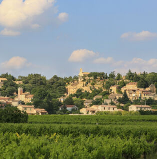
After a gentle climb alongside and over the railway line, you will see the hilltop village of Vénéjan and its vineyards in the plain in the distance. Head towards the village centre via the RD148 and stop off at the inn to discover its heritage: the fortified castle, the 1813 windmill, the Romanesque chapels; natural treasures: the theatre and Mediterranean garden; and local village amenities: shops, accommodation, leisure activities.
The route then continues after reaching the plateau near the windmill, following a short but challenging climb of a few kilometres. Pass through the housing estates on the plateau road and continue straight ahead, even at intersections, to leave the village behind for several kilometres.
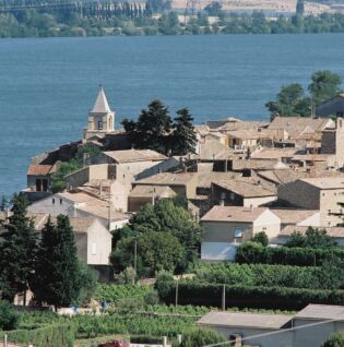
At the end of Chemin Bois Noir, you will come to an S-shaped intersection. Turn left, then right (opposite a large gate). Take a small path on the plateau in the middle of the vineyard towards St-Etienne-des-Sorts. After following a winding road, take the first left to reach the village. At this point in the route, continue straight ahead to reach the site of Saint-Pierre before reaching the village centre: the tower and Romanesque chapel are located on a natural belvedere, 300 metres north of the village, offering a panorama stretching from the Luberon to the Vivarais and from the Cévennes to Mont Ventoux, overlooking the Rhône river for more than 60 kilometres.
Turn back and take the first left onto Chemin du Stade to reach the village and the banks of the Rhône.
Plan a stop to discover the village’s riches and heritage: church, oratory, capitelles (dry stone huts); wine-growing: cellars; local services: accommodation and restaurants; and leisure activities: MOBY PARC water park.
The rest of the route takes you through the village via a narrow street called Grand Rue towards the Jonquier hill, where you leave the village by continuing straight ahead. After several kilometres, you arrive in the small hamlet of Jonquier and see the splendid neo-medieval Jonquier Castle (private) on your left.
You are now approaching the path towards Chusclan, continuing straight ahead, which will take you to a natural leisure area in the middle of a pine forest where you can take a break: fitness trail, nature trail, picnic table. Then take the Fontaine du Renard path on the left, which descends steeply towards the village (take care!), continue straight ahead and you will reach the centre of Chusclan.
Plan to stop off in the magnificent village of Chusclan, where you can discover its rich heritage: picturesque narrow streets, arches, cobbled squares, the restored stained-glass windows of St-Julien Church and its listed organ dating from 1856, oratories, media library, and more. A little higher up, you can admire the ruins of the 13th-century Gicon Castle and the 11th-12th-century St Madeleine Chapel. The natural environment offers hiking, walking, fishing, swimming and scenic views, while local services include accommodation, restaurants and wine tasting.
The route continues towards the last village on our Rhône Valley itinerary, Codolet. Take the Chemin de la Mâle opposite the fountain near the church. At the end of this path, turn right and follow the RD765 for a few metres, then turn right at the bend and join the small, rather dilapidated country lane that descends through the woods. Continue for several kilometres, keeping straight ahead through the vineyards, passing under a narrow bridge (sometimes flooded in rainy weather, so take care!).
Arrival in Codolet, the last stop to discover the village surrounded by vineyards, located on the banks of the Rhône and Cèze rivers.
Proud of its historical heritage and unusual landscapes: its Romanesque church, its dyke, the Cèze bridge, the lake, its narrow streets; the village also offers local services: accommodation, restaurants and other shops.
Route information
- Aller_itinerance
- Hard coating (tar, cement, flooring)
- 24 km
- 250 m
Files to consult
Opening dates
All year round daily.
Pricing
Free access.
Activities
- Cycle tourism route
- Cycling sports