 Bathing quality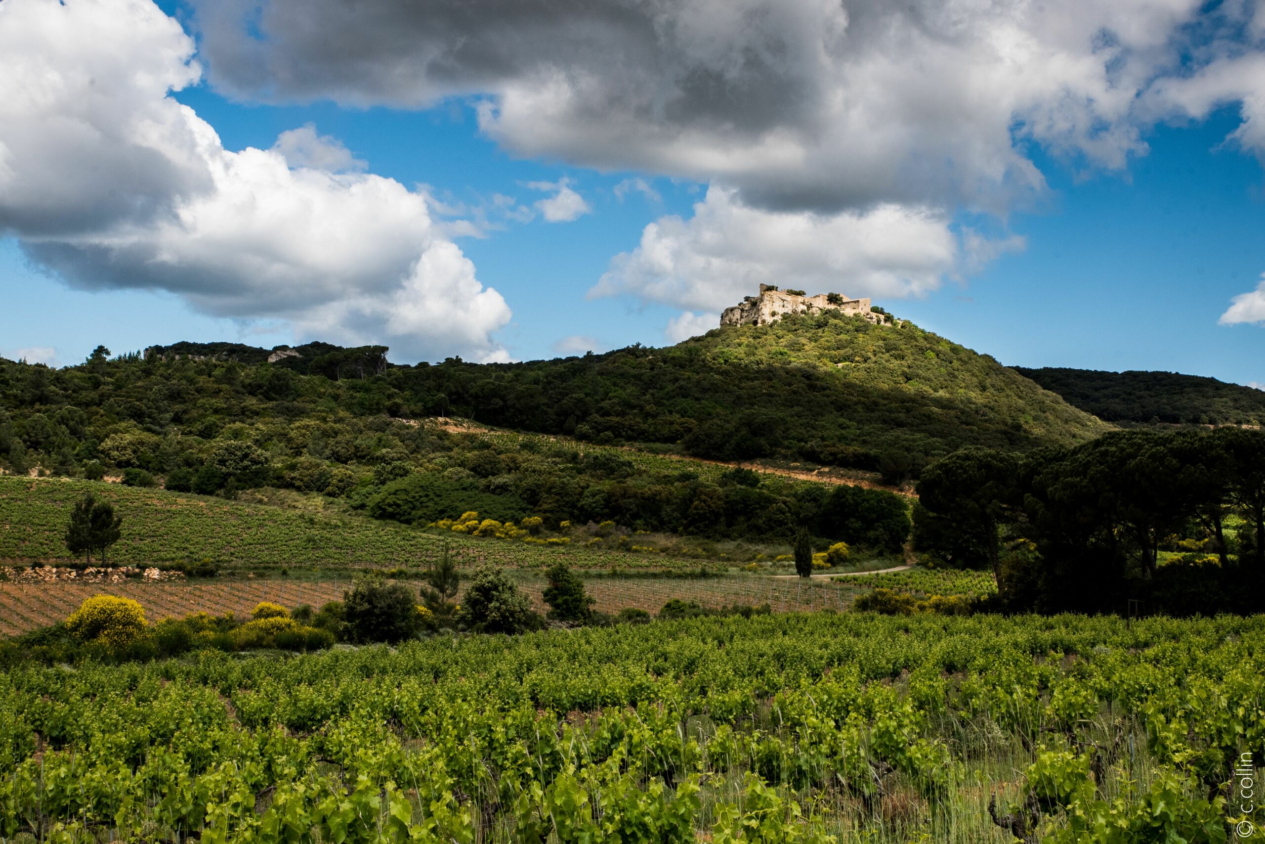
On the terroir of the Côtes du Rhône” walk
Presentation
Travel to Provence Occitane, step back in time and narrow the field of distances from 360-degree vantage points. From your perch, observe the region’s mountains, hills and rich architectural heritage.
To the north, the Château de Gicon, the Château du Jonquier and the Chapelle Saint Marc, to the east, the emblematic Mont Ventoux, the Dentelles de Montmirail, and a plunging view of the Rhône. To the south, the Castellas de Saint Victor La Coste stands before you, and to the west, Mont Bouquet and the foothills of the Cévennes.
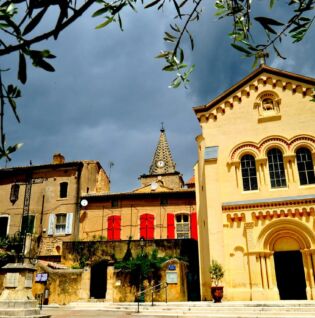
From the “Chusclan Parking” post, turn right towards “Place Mgr Menjau”.
At the “Place Mgr Menjau” post, go straight on towards “Église St Julien”.
At the “Église St Julien” sign, go straight on towards “Rue du Ruisseau”.
At the “Rue du Ruisseau” post, go straight on towards “Croix St Roch”.
At the “Croix St Roch” post, go straight on towards “Chemin Neuf”.
At the “Chemin Neuf” post, turn right towards “Bois de vente de Paris”.
At the “Bois de Vente de Paris” post, turn right towards “Bois de Valescure”.
At the “Bois de Valescure” sign, go straight on towards “La Grande Matte”.
At the “La Grande Matte” post, go straight on towards “l’Arête de l’Ode”.
At the “Arête de l’Ode” sign, turn right towards “DENT DE MARCOULE”.
At the “DENT DE MARCOULE” post, make the A-R towards the promontory to observe the panoramic views, then return to the “La Grande Matte” post by the same route.
At the “La Grande Matte” post, turn left towards “Passage de Layme”.
At the “Passage de Layme” post, turn right in the direction of “CHUSCLAN”, to arrive again at the “Croix St Roch” post and take the same path as on the outward journey to return to the starting point.
Further information:
Further information on the route is available from our Destination Provence Occitane Tourist Offices or in our “Autour du Camp de César” map guide.
Maintaining, informing and promoting nature trails is everyone’s business. So remember to do the right thing for the environment, and take a walk in Provence Occitane.
An audioguide of the trail is available via the Rando Gard smartphone app, downloadable from App Store and Google Play.
Route information
- Boucle
- Grit
- Ground
- Stone
- 6.4 km
- 280 m
Files to consult
Opening dates
All year round.
Pricing
Free of charge.
Activities
- Hiking itinerary
- Pedestrian sports